Understanding Flood Maps: Navigate Your FEMA Risk Zones
Decoding Flood Maps: Your Guide to Risk Zones and Property Protection
Flood maps and risk zones are crucial for understanding your property’s vulnerability to flooding. They influence insurance decisions, building regulations, and emergency preparedness. With unpredictable weather patterns becoming the norm, mastering flood map interpretation is more vital than ever. This guide will walk you through decoding FEMA flood maps, understanding zone definitions, pinpointing your property’s risk, grasping insurance implications, and knowing what to do when flooding strikes. You’ll discover:
- What Flood Maps Are and Why They Matter
- How to Decipher FEMA Flood Zone Definitions: A Comprehensive Guide
- How to Pinpoint Your Property’s Flood Zone
- How Flood Zones Impact Property and Flood Insurance
- Factors Beyond Official Maps That Influence Your True Flood Risk
- What to Do If Your Property is in a Flood Zone and Floods
- Where to Find Reliable Flood Map and Flood Zone Information
What Are Flood Maps and Why Are They Important?
Flood maps are visual tools that illustrate areas susceptible to flooding. They’re based on historical flood data, terrain features, and water flow patterns. These maps define the boundaries where floodwaters might reach during events like river overflows, coastal surges, or intense rainfall. This information is invaluable for planners, insurers, and property owners to anticipate potential hazards. For instance, a flood map might indicate that a 1-in-100-year flood event could inundate a neighborhood along a river up to a certain elevation, guiding crucial decisions on building codes and floodplain management.
Flood map data serves three essential purposes:
- Assessing Risk: Identifying areas with high flood risk that require protective measures, such as elevated foundations or flood barriers.
- Determining Insurance Needs: Defining zones where flood insurance is a mandatory requirement under federal programs.
- Planning for Emergencies: Supporting the development of evacuation routes, relief staging areas, and resource allocation for communities in at-risk areas.
Accurate flood maps are key to protecting lives and property, significantly reducing the devastating impact and cost of water damage and subsequent restoration.
What Is a FEMA Flood Map?
A FEMA flood map is an official map created by the Federal Emergency Management Agency that shows flood hazard areas across the nation. It utilizes sophisticated hydrologic models and data to outline areas with different probabilities of flooding each year. By clearly marking Special Flood Hazard Areas (SFHAs), these maps guide community planning and insurance requirements, ensuring properties in high-risk zones implement necessary safeguards.
Mapping the Zone: Improving the Accuracy of FEMA Flood Maps
… in Cedar Rapids, Iowa (foreground), and a portion of the FEMA Flood Insurance Rate Map … was established to examine the factors affecting flood map accuracy, …Mapping the zone: Improving flood map accuracy, Unknown Author, 2009
How Do Flood Maps Identify Flood Risk Zones?
Flood maps identify risk zones by analyzing historical flood data, rainfall patterns, and land elevations to model how water might flow. They delineate boundaries for events like the base flood (which has a 1 percent annual chance of occurring) and other statistically significant storm scenarios. This mapping process highlights areas prone to surface flooding, river overflow, or coastal inundation, enabling authorities to classify zones based on their severity.
What Is a Special Flood Hazard Area (SFHA)?
A Special Flood Hazard Area, or SFHA, is a designation on FEMA flood maps indicating an area with at least a 1 percent annual chance of experiencing flooding. Properties within an SFHA face a significantly higher risk, and federal regulations typically mandate flood insurance for any mortgages on properties in these zones. SFHAs encompass floodways and floodplains, emphasizing the critical need for robust building standards and mitigation strategies.
Special Flood Hazard Areas (SFHA) and Mortgage Requirements
… certain areas as special flood hazard areas (SFHA). In the Code of Federal Regulations (CFR), a … Thus, most homes with mortgages that are located within SFHAs are required to have …The impact of special flood hazard area designation on residential property values, WH Rogers, 2010
How Does Base Flood Elevation (BFE) Affect Flood Risk?
The Base Flood Elevation (BFE) indicates the predicted water surface level during a base flood event, measured against a local vertical datum. Properties situated below the BFE line are more likely to experience significant flooding depth. This elevation is critical for determining construction requirements, such as elevating finished floors above this level. Understanding your BFE helps you grasp how high floodwaters might rise and what protective measures—like elevated foundations or flood vents—are essential to minimize damage to your structure and belongings.
How to Read FEMA Flood Zone Definitions: A Complete Guide
Understanding FEMA’s flood zone classifications is key to grasping the level of risk and insurance obligations associated with each designation. Each zone code corresponds to specific annual flood probabilities, regulatory mandates, and recommended mitigation actions. Familiarizing yourself with these definitions will help homeowners and businesses implement the right preparedness and recovery strategies.
What Are the Different FEMA Flood Zones?
- Zone A – Areas with a 1 percent annual chance of flooding; Base Flood Elevation (BFE) not determined.
- Zone AE – High-risk areas with a 1 percent chance of flooding and published Base Flood Elevations.
- Zone V – Coastal high-velocity wave action zones with a 1 percent annual chance of flooding, requiring very strict building codes.
- Zone VE – Coastal high-velocity wave action zones with a 1 percent annual chance of flooding, and determined Base Flood Elevations.
- Zone X (shaded) – Moderate-risk areas with a 0.2 percent annual chance of flooding (equivalent to a 500-year floodplain).
- Zone X (unshaded) – Areas outside the 1 percent and 0.2 percent annual chance floodplains, considered to have minimal flood risk.
- Zone D – Areas where flooding is possible but the risk has not been determined and requires further study.
How Do Flood Zone Classifications Impact Flood Risk?
Flood zone classifications directly reflect the intensity of flood risk. High-risk zones like A and V indicate frequent flooding that necessitates comprehensive mitigation and insurance, while moderate-risk zones, such as shaded X, still call for precautionary measures. These designations dictate building code requirements—like foundation elevation standards—and guide community floodplain management, ensuring that development aligns with acceptable risk levels.
What Flood Zones Require Mandatory Flood Insurance?
Properties located in high-risk zones (A, AE, V, VE) typically require flood insurance if they have a mortgage from a federally regulated lender. Purchasing insurance in SFHAs provides financial protection through programs like the National Flood Insurance Program (NFIP), helping owners cover repair costs after water damage. While moderate-risk zones might have insurance advisories, coverage is often not mandatory.
Coastal Flood Risk and the Mortgage Market: Special Flood Hazard Area Requirements
… the mortgage market to flood risk. Firstly, households borrowing using an agency-guaranteed mortgage are required to purchase flood insurance… of originations in Special Flood Hazard Areas (the 100-year floodplain)…Coastal Flood Risk in the Mortgage Market: Storm Surge Models’ Predictions vs. Flood Insurance Maps, A Ouazad, 2006
How to Compare Flood Zones Using a Table Format
| Flood Zone | Annual Chance of Flooding | Insurance Requirement |
|---|---|---|
| Zone A | 1 percent | Mandatory in SFHA |
| Zone AE | 1 percent | Mandatory with BFE |
| Zone V | 1 percent | Mandatory; coastal wave action |
| Zone VE | 1 percent | Mandatory with BFE; coastal wave action |
| Shaded X | 0.2 percent | Recommended |
| Unshaded X | Less than 0.2 percent | Optional |
| Zone D | Indeterminate | Advisory only |
Understanding this comparison allows for precise assessment of your insurance needs and ensures regulatory compliance as you plan mitigation or restoration efforts.
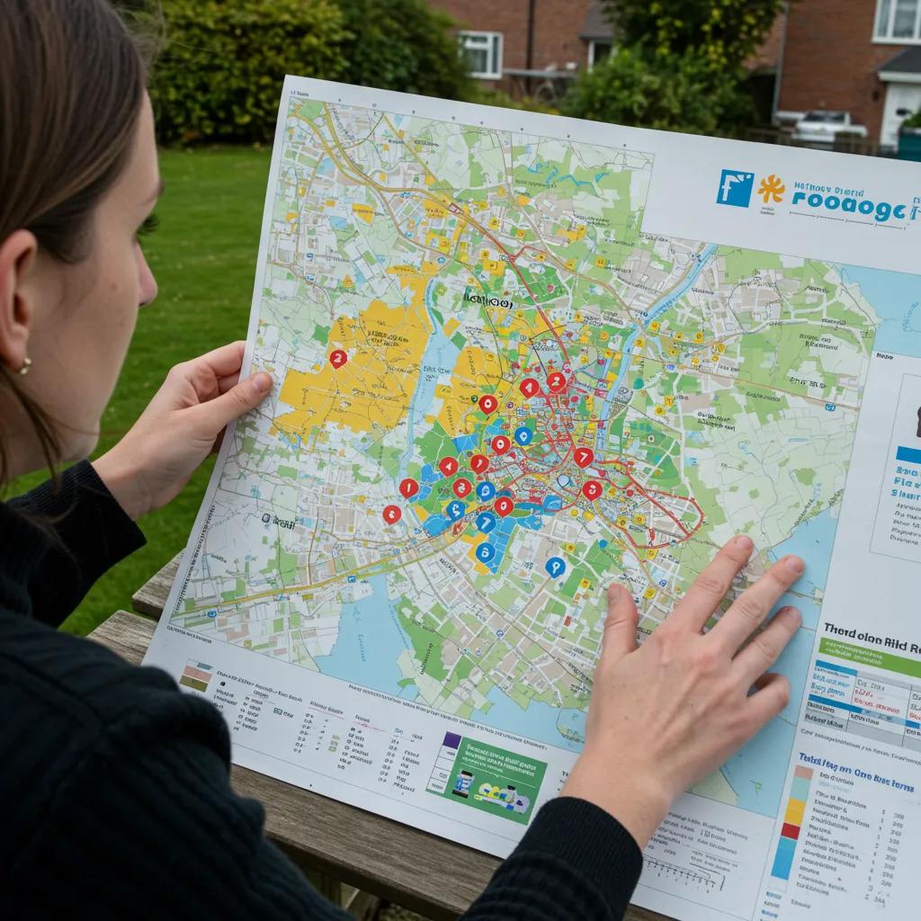
How Do I Find My Property’s Flood Zone?
Knowing your property’s flood zone is essential for making informed decisions about insurance coverage and necessary property upgrades. FEMA’s Flood Map Service Center provides an interactive tool where you can enter an address to view zone boundaries. Local planning departments and specialized mapping services can also offer detailed guidance, helping you understand both official designations and site-specific flood risks.
How to Use the FEMA Flood Map Service Center for Flood Zone Lookup
- Access the online map interface and search using your street address or a known place name.
- Navigate to your property’s location on the map and identify the flood zone labels shown on the overlay.
- Record the zone code and any associated Base Flood Elevations that are listed.
- Download or take a screenshot of the map section for your insurance or planning records.
Following these steps will clarify your official flood designation and provide necessary documentation for mortgage or insurance purposes.
What Tools and Resources Help Identify Flood Zones?
In addition to FEMA, valuable resources include:
- Local government flood risk portals and historical flood event records.
- Professional land surveyors who can provide elevation certificates.
- Third-party risk assessment platforms that utilize advanced modeling techniques.
Utilizing multiple resources ensures a comprehensive understanding of both mapped flood designations and potential risks specific to your property’s unique terrain.
How to Interpret Flood Map Symbols and Colour Codes
Flood maps use consistent symbols to convey information:
- Shaded areas typically denote high-risk zones (A, AE, V, VE).
- Cross-hatch patterns often indicate floodways, areas where obstructions are prohibited.
- Color gradients can signify increasing levels of flood risk, from moderate to severe.
How Do Flood Zones Affect Property and Flood Insurance?
Flood zones are fundamental to determining insurance rates, policy requirements, and mortgage obligations. Insurance providers use zone designations and Base Flood Elevations to calculate premiums, deductibles, and coverage limits. Understanding how these factors interact allows property owners to budget effectively and secure the necessary financial protection before a flood event occurs.
What Is the National Flood Insurance Program (NFIP)?
The National Flood Insurance Program (NFIP) is a federal initiative designed to offer affordable flood insurance policies in areas where private insurance markets may be limited. Supported by government risk-sharing, the NFIP sets standardized rates for designated flood zones and requires policy purchase for properties with federally backed mortgages located in Special Flood Hazard Areas.
How Do Flood Zones Influence Flood Insurance Premiums?
Insurance premiums tend to be significantly higher in high-risk flood zones due to the increased likelihood and potential severity of flood events. Properties in Zone AE situated at lower elevations relative to the BFE often face the highest rates, while those in moderate-risk zones generally benefit from lower premiums. Factors like elevation certificates and the implementation of flood mitigation features—such as elevated utilities—can further reduce insurance costs.
What Are Mortgage Requirements Related to Flood Zones?
Lenders mandate flood insurance for mortgages on properties located within SFHAs to protect the financial interests of both the borrower and the lender. Compliance with these insurance requirements is essential for securing financing and can prevent delays in closing transactions. Understanding flood zone boundaries and associated mortgage requirements ensures a smoother property transaction process.
How Does Base Flood Elevation (BFE) Affect Insurance and Property Value?
Properties constructed above the BFE generally qualify for lower insurance premiums and may command higher resale values due to their reduced flood exposure. Conversely, homes located below the BFE are likely to face substantial insurance premiums and potential challenges with financing. Investing in elevation improvements, such as raising the foundation, can lead to long-term cost savings and enhance a property’s market appeal.
What Factors Affect Your True Flood Risk Beyond Official Maps?
While official flood maps provide a baseline understanding of risk, localized environmental conditions and evolving climate trends can significantly alter your property’s actual vulnerability. Evaluating factors like local drainage systems, soil permeability, and the history of flooding in your area offers a more comprehensive view of your risk, ensuring that your property protection strategies address both mapped hazards and emerging threats.
How Do Local Drainage and Geography Influence Flood Risk?
Specific site characteristics—including the land’s slope, proximity to storm drains, and the presence of natural water channels—play a crucial role in how water collects or flows around a property. Inadequate maintenance of drainage systems or blocked culverts can transform a moderate-risk zone into a high-impact area during heavy rainfall, highlighting the importance of a thorough on-site assessment.
What Role Does Climate Change Play in Flood Zone Accuracy?
Rising sea levels and changing precipitation patterns are altering the frequency and intensity of floods, often exceeding historical norms. Climate projections suggest that areas currently classified as having a 1 percent annual chance of flooding may experience conditions equivalent to a 0.2 percent annual chance flood within decades. This necessitates adaptive measures that go beyond minimum regulatory standards.
How Can Historical Flood Data Inform Your Flood Risk?
Reviewing past flood records—including dates, water depths, and durations—can reveal patterns that might not be fully captured by current flood zone models. A property situated outside officially mapped flood boundaries may have still experienced flash flooding, underscoring the need for resilient building practices and emergency plans that are independent of official designations.
What Should You Do If Your Property Is in a Flood Zone and Floods?
Taking immediate, organized steps after a flood event can significantly minimize secondary damage and reduce health risks. Having a clear action plan ensures the safety of everyone in the property and facilitates the swift deployment of restoration professionals to salvage structures and belongings, ultimately lowering long-term repair expenses.
What Immediate Actions Should Property Owners Take After Flooding?
- Prioritize personal safety and shut off utilities if instructed to do so.
- Thoroughly document all damage with photographs for insurance claims.
- Remove standing water using appropriate pumps or wet/dry vacuums.
- Separate wet items to prevent the spread of mold.
- Ventilate all affected areas to speed up the drying process.
Implementing these initial steps helps limit microbial growth and structural degradation, paving the way for effective professional restoration.
How Does Emergency Water Damage Restoration Help After Floods?

Emergency water damage restoration services offer rapid water extraction, structural drying, and continuous moisture monitoring to stabilize affected buildings. Trained technicians utilize advanced drying equipment and moisture sensors to prevent mold proliferation and structural compromise, working to restore interiors to their pre-loss condition while ensuring occupant health and safety.
Why Is Mold Remediation Important After Flood Damage?
Floodwaters often carry contaminants and significantly increase indoor humidity, creating an ideal environment for mold growth. Mold can compromise indoor air quality and damage building materials. Professional mold remediation involves isolating affected areas, applying specialized antimicrobial treatments, and monitoring air and surface quality to guarantee a safe and healthy environment.
How Can Structural Repairs Restore Flood-Damaged Properties?
Following water removal and drying, structural repairs address any compromised foundations, warped flooring, or damaged wall assemblies. Restoration teams replace affected materials, apply moisture-resistant coatings, and reinforce critical structural components to restore the property’s integrity and ensure compliance with current building standards.
How to Request a Free Flood Damage Inspection and Emergency Assistance
Contact National Emergency Water Damage Experts for a complimentary flood damage inspection and immediate emergency assistance. Our 24/7 response team will assess the risks, provide a detailed restoration plan, and mobilize the necessary resources to secure your property. Expert guidance and prompt action are key to a faster recovery and protecting your valuable investment.
Where Can You Find Authoritative Flood Map and Flood Zone Information?
Accessing reliable sources for flood information ensures that your decisions are based on the most current hazard data and regulatory updates. Authoritative resources also guide compliance and insurance choices, providing valuable insights and peace of mind.
How to Access FEMA Flood Maps and Updates
Consult FEMA’s digital map repository to view the latest flood hazard data, regulatory floodway boundaries, and updated Base Flood Elevations. Regular updates incorporate new survey data and modeling improvements, ensuring you are working with the most accurate information available.
What Is FloodSmart.gov and How Does It Help With Flood Insurance?
FloodSmart.gov is a comprehensive resource offering educational materials on flooding, available insurance options, and mitigation strategies under the National Flood Insurance Program. Property owners can explore policy details, estimate potential premiums, and learn about community resilience grants.
How Do Restoration Experts Use Flood Maps to Plan Services?
Flood damage specialists leverage flood maps and Base Flood Elevations to customize restoration strategies, select the most effective drying equipment, and anticipate potential areas of hidden moisture. This data-driven approach accelerates the recovery process, helps control restoration costs, and minimizes disruption to your life.
Every stage of flood risk assessment—from understanding flood maps to initiating emergency restoration—relies on accurate data and swift action. By decoding FEMA flood maps, grasping zone definitions, and engaging expert restoration services, you can effectively protect your property against the increasing threat of flooding. Contact National Emergency Water Damage Experts today for a free inspection and rapid emergency response to ensure your property’s resilience against future flood events.